By: Nana
Appiah Acquaye
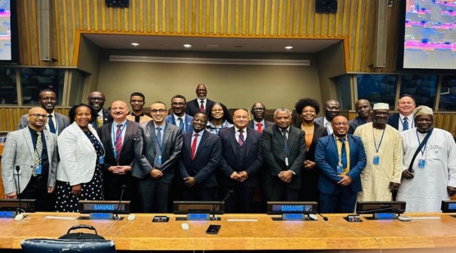
Africa recorded its
strongest participation to date at the sixteenth session of the United Nations
Committee of Experts on Global Geospatial Information Management (UN-GGIM),
with 18 African Member States represented by 45 delegates.
The participation marked a
significant step in strengthening Africa’s contribution to global discussions
on geospatial information management, with delegates bringing national
priorities, expertise and experiences to deliberations on the future of the global
geospatial information ecosystem.
African representatives
contributed to discussions covering the United Nations Integrated Geospatial
Information Framework (UN-IGIF), climate and disaster resilience, land and
marine administration, the integration of geospatial and statistical information,
standards and capacity development.
The session also highlighted
Africa’s growing leadership within the global geospatial architecture. Clinton
Heimann served as Co-Chair of UN-GGIM, while Fernand Isseri served as Co-Chair
of the High-level Group of the Integrated Geospatial Information Framework
(HLG-IGIF). Fernand Bale also served as Co-Chair of the Subcommittee on
Geodesy.
The increased African
participation comes amid growing recognition of the role of geospatial
information in supporting sustainable development, climate resilience, disaster
management, land administration and evidence-based policymaking.
UN-GGIM said Africa’s
engagement goes beyond attendance, with the continent seeking to ensure that
global frameworks, standards and decisions reflect the diverse circumstances
and development priorities of its countries.
Stakeholders called for the
momentum generated by the session to be sustained through stronger African
engagement in UN-GGIM’s intersessional activities and continued leadership in
shaping the global geospatial agenda.