By: Nana
Appiah Acquaye
The Malawi Communications
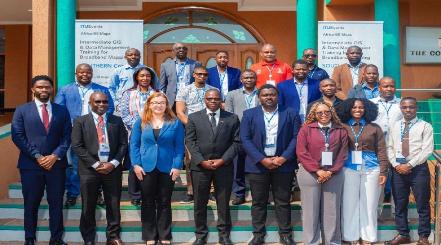
Regulatory Authority (MACRA) is hosting the Africa-BB-Maps Intermediate GIS and
Data Management for Broadband Mapping Training in Lilongwe from August 24 to
28, 2026, as countries strengthen their capacity to map broadband infrastructure
and address connectivity gaps.
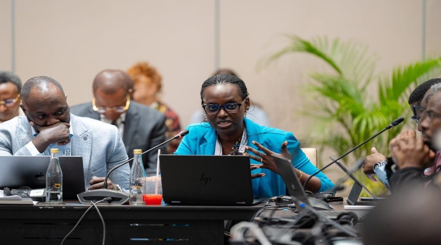
The five-day training is
organised by the International Telecommunication Union (ITU) and delivered by
Esri South Africa College, bringing together practitioners from Malawi,
Zimbabwe, Botswana and Zambia.
The programme is focused on
strengthening participants’ capacity to build, manage and maintain enterprise
Geographic Information System (GIS) environments for national broadband
mapping.
Participants are receiving
practical training in enterprise GIS architecture, multiuser geodatabases, data
governance, advanced editing, access control, data integrity, database
performance and geospatial service publishing.
The training uses real-world
datasets covering fibre networks, mobile coverage and digital infrastructure to
provide participants with practical experience in managing and analysing
connectivity data.
For Malawi’s Universal
Service Fund (USF), the development of these GIS and data management
capabilities is expected to support its Broadband Mapping Programme by
improving the collection, management, analysis and visualisation of
connectivity information.
The improved capacity will
enable the USF to more accurately identify areas with limited or no
connectivity, map existing infrastructure, prioritise connectivity
interventions and monitor progress towards closing Malawi’s digital divide.
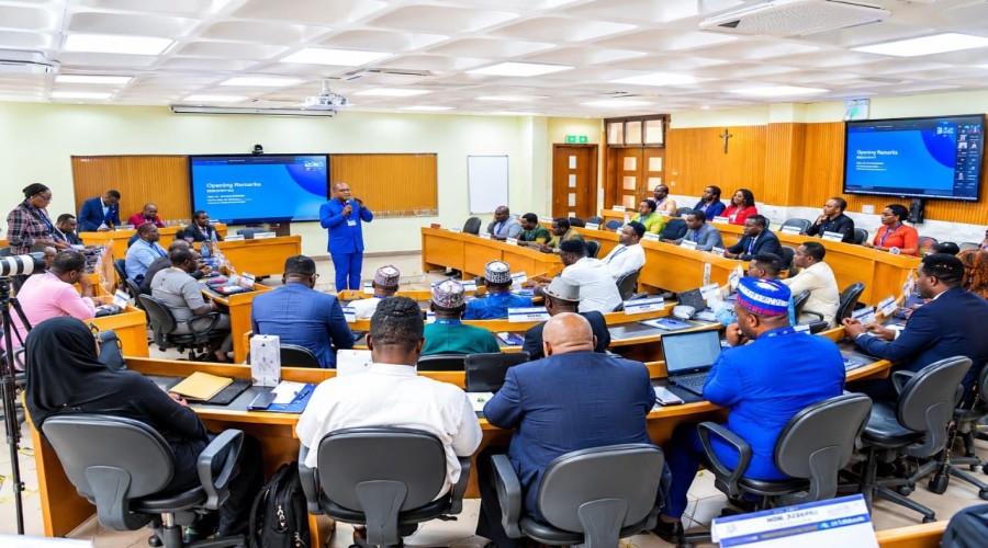
Opening the training, MACRA
Acting Director of Telecoms Patrick Musiyapo said broadband mapping enables
countries to obtain a clearer picture of their connectivity landscape by
identifying areas with strong coverage and exposing remaining gaps.
Musiyapo said the initiative
goes beyond technical training, describing broadband mapping as an important
evidence base for guiding policy, directing investment and expanding
connectivity to underserved communities.
By the end of the training,
participants are expected to be equipped to configure multiuser geodatabase
environments, manage role-based access and data integrity, optimise database
performance and publish geospatial services.