Kenya’s Directorate of
Resource Survey and Remote Sensing (DRSRS) has signed an agreement with Supermap
International, a Chinese tech firm aimed at enhancing the country’s proficiency
in geospatial technology.
The agreement entails
training for over 70 Kenyan government officials, academics and private sector
individuals in advanced Geographic Information Systems (GIS) over the course of
one year, said Director of DRSRS Moses Akali. “The collaboration between
DRSRS and Supermap International seeks to bolster Kenya’s institutional
capacity in utilizing space-derived products, services and customized tools for
diverse needs in natural resource management, planning, and monitoring,” Akali
said.
Speaking
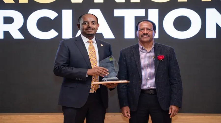
on the sidelines of the 2023 Supermap GIS software innovation conference,
themed “GIS Innovations for Rapid Spatial Data Analysis and 3D Modeling for
Sustainable Development in Kenya and Beyond,” Akali stressed Kenya’s interest
in harnessing Supermap’s advanced technologies in such fields as big data,
artificial intelligence, 3D modeling, distributed GIS and cross-platform GIS,
which would enable the country to develop robust solutions for urban planning,
cadastral mapping, natural resource management, traffic monitoring and land
valuation planning.
Moreover,
Akali said that by integrating remote sensing data processing and
interpretation capabilities into GIS technologies, Supermap would facilitate
Kenya’s more efficient application of geospatial data, which could extend to
areas such as food security, natural disaster monitoring and management,
climate change and carbon emission control.
Roger
Wang, president of Supermap International, expressed the company’s commitment
to establishing partnership relationships with various Kenyan agencies,
including influential universities and companies.
He
noted that this partnership would serve as a solid platform for Supermap to
better support Kenya’s socioeconomic development.