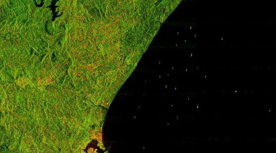
The South
African National Space Agency (SANSA) has expanded its Earth Observation
capabilities through the acquisition of RADARSAT-2 satellite imagery,
strengthening the nation's maritime monitoring and environmental protection
efforts. The weekly captures of South Africa's Exclusive Economic Zone,
including the Prince Edward and Marion Islands, provide critical data for the
National Oceans and Coastal Information Management System (OCIMS).
This initiative
directly supports Operation Phakisa's oceans economy objectives by delivering
near real-time vessel tracking and environmental monitoring. Between 2018 and
2020, SANSA contributed approximately 1,000 RADARSAT-2 images to OCIMS,
enabling authorities to detect illegal fishing activities, monitor oil spills,
and assess coastal erosion with unprecedented precision.
The
high-resolution satellite data also serves broader applications in agriculture,
water resource management, and urban planning, aligning with South Africa's
sustainable development goals. SANSA's Earth Observation portfolio continues to
provide vital intelligence for disaster risk reduction, food security
initiatives, and infrastructure development across multiple sectors.
As part of its
commitment to technological advancement, SANSA maintains international
partnerships to enhance space-based solutions for national development. The
RADARSAT-2 integration demonstrates how satellite technology can drive informed
policymaking and economic growth while protecting marine ecosystems.
By: Kanto Kai Okanta