By: Nana
Appiah Acquaye
The Regional Centre for
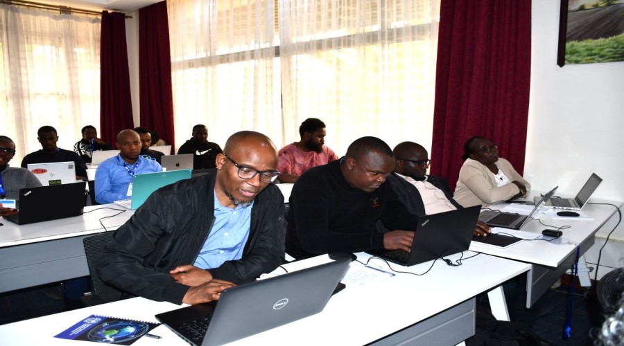
Mapping of Resources for Development (RCMRD) is conducting a one-week Land
Information Management System (LIMs) training aimed at strengthening the
capacity of member states to develop interoperable, secure and nationally
responsive digital land information systems.
The training, taking place
at RCMRD in Nairobi, is bringing participants together to explore how Land
Information Management Systems can be integrated with national geospatial
platforms, valuation systems, planning databases and e-government services.
The programme is also
examining the data, infrastructure and governance requirements that underpin
effective digital land systems, with participants focusing on issues that
extend beyond the technical integration of different platforms.
Key areas of the training
include data quality and security, metadata standards and access controls, as
well as choices around cloud hosting and the use of digital infrastructure.
Participants are also
examining digital sovereignty considerations, including vendor lock-in and the
respective implications of open-source and proprietary technologies for
national land information systems.
Cybersecurity and the
responsible use of artificial intelligence are also part of the discussions,
reflecting the growing role of emerging technologies in the management and
delivery of digital public services.
RCMRD said the strength of
digital land systems ultimately depends on the quality of the data,
infrastructure and governance supporting them.
The training is therefore
focused on helping member states build land information systems that can
effectively exchange data across government platforms while maintaining
security, national control and reliability.